Mining and Exploration
Diverse geophysical methods for mining and mineral exploration
Southern Geophysical supports mining and exploration projects of every scale across New Zealand. Whether you are an individual prospector applying for a permit or a listed company running multi-year exploration, we provide the geophysical tools to get you results efficiently, safely, and cost effectively.
Geophysical surveying allows you to target invasive investigations with confidence, in may cases reducing the need for more costly drilling. If you have pre-existing drill logs, geophysics can be used to fill in the gaps between drill holes, using the logs for ground truthing and correlation.
Our core capabilities: Induced Polarisation (IP), Electrical Resistivity Tomography (ERT), Seismic Tomography (SRT) and Ground Penetrating Radar (GPR)
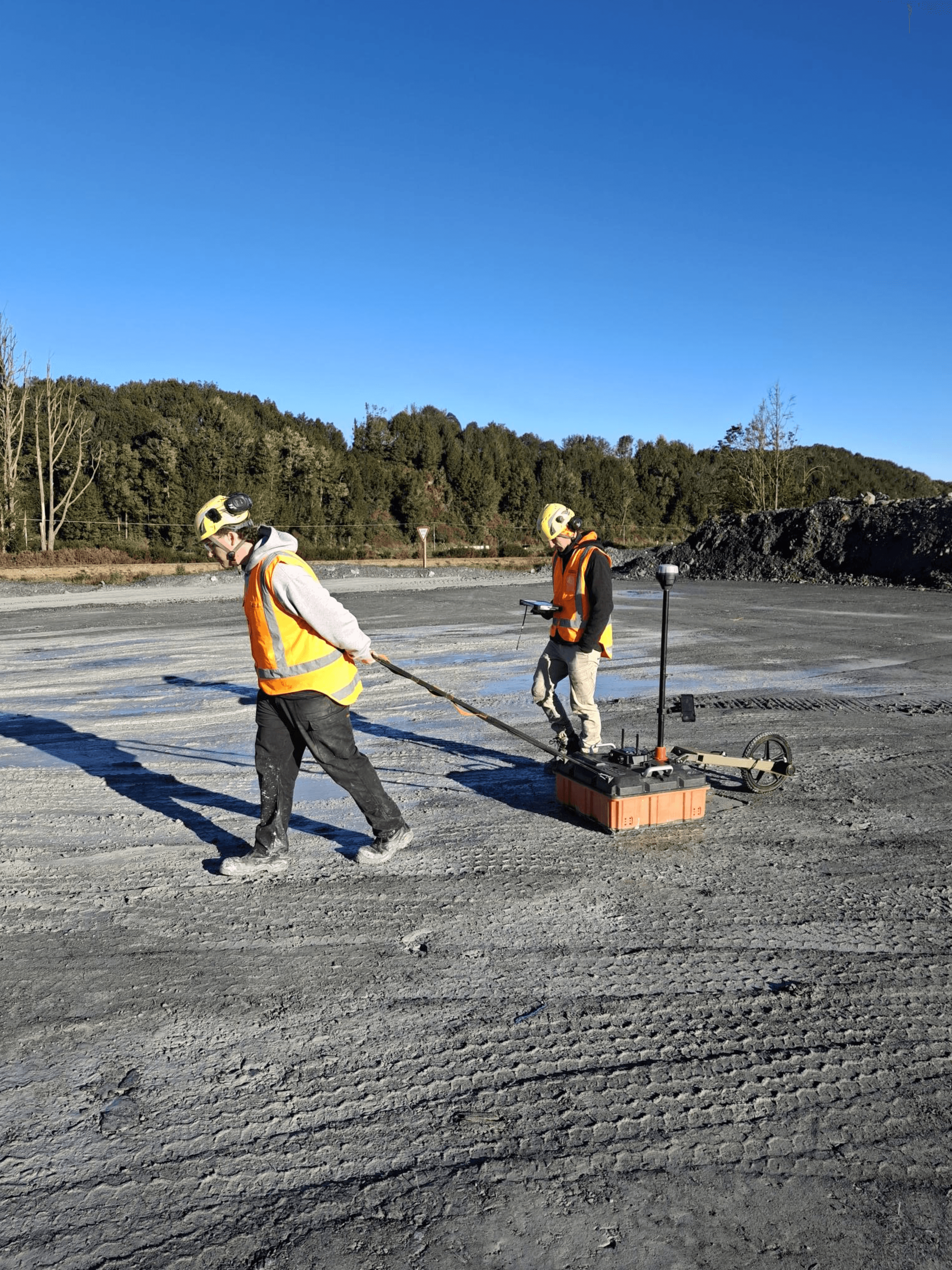
The Iris Syscal Terra Switch 96 system
We have expert operators and an Iris Syscal Terra Switch 96 channel system (up to 96 electrode channels). This is the most advanced system of its kind in New Zealand with the capability to bridge roads and rivers wirelessly. This system is purpose built for Induced Polarisation (IP) and Electrical Resistivity Tomography (ERT), two of the most trusted methods in mineral exploration worldwide.
These techniques are widely used to:
Detect gold and silver mineralisation
Map copper and base-metal sulphides
Identify alteration halos and structural controls before drilling
Investigating nickel and battery metal targets in ultramafics
Resistivity contrasts in industrial minerals and coal settings
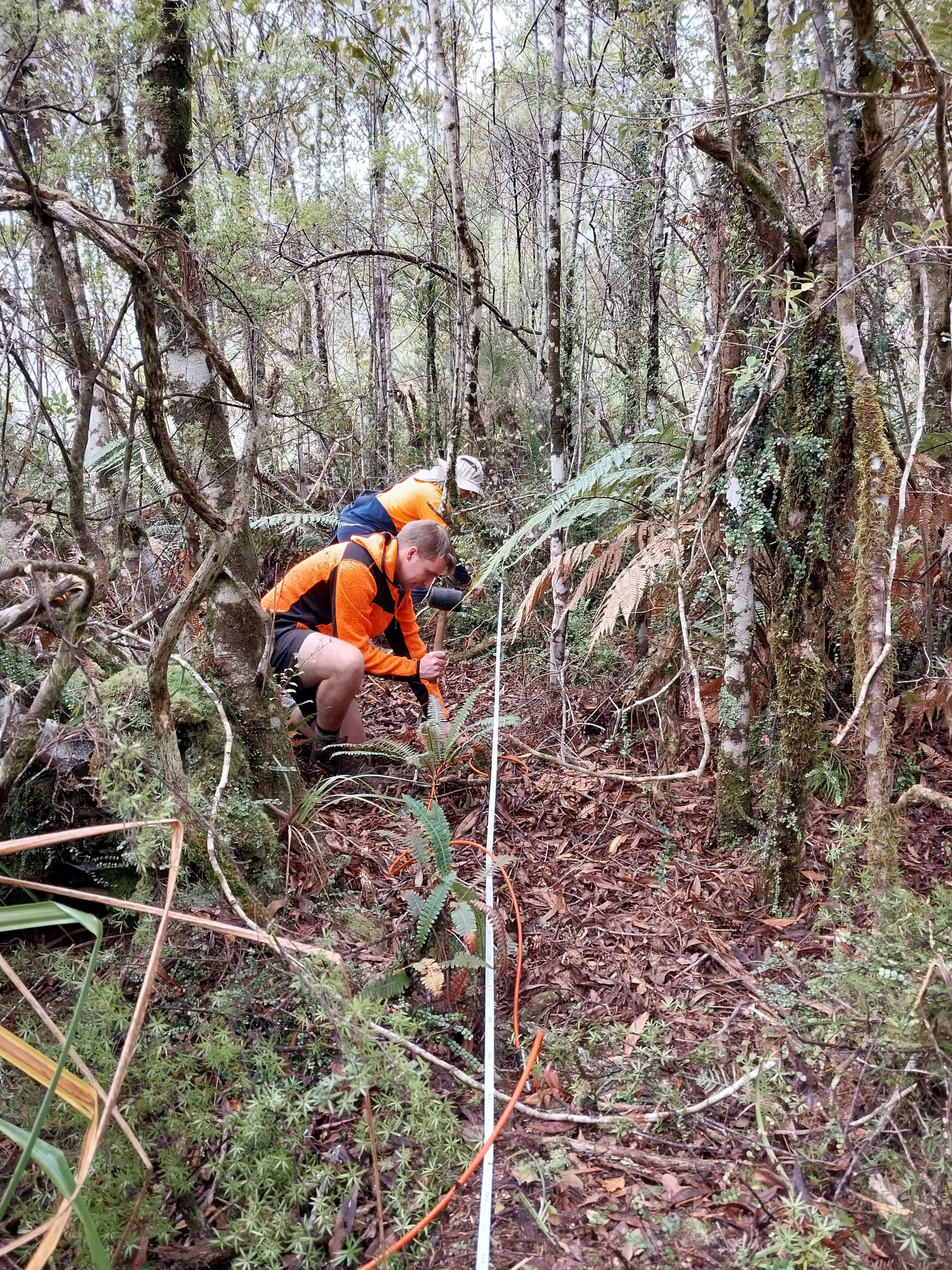
Shallow Seismic Systems
We tailor our seismic surveying to suit your target objectives. We have 20+ years of experience in seismic surveying throughout New Zealand and the Pacific Islands, with the resources and equipment to match. We can capture Seismic Reflection/Refraction Tomography (SRT), utilising direct of shear wave sources. For deeper surveys or noisy environment, we operate an accelerated weight drop for significant source energy, While less commonly required, we have experienced using set explosives and buffalo gun sources for specific applications.
Seismic investigations are best applied to:
Image subsurface stratigraphy and seam boundaries
Identify depth to bedrock
Overburden thickness - minerals and coal
Complimentary methods
Ground Penetrating Radar (GPR): We operate a full range of GPR systems with frequencies from 12.5 MHz to 400 MHz, giving us the capability to image very deep, high resolution or the best combination of both given your unique environment. GPR is well suited to mapping shallow paleo-channels and gold bearing alluvial deposits. GPR is also useful for imaging the near surface in support of mine planning and infrastructure mapping.
Other geophysics: Magnetics and electro magnetics (EM) can be integrated to complement IP, ERT, and seismic data.

What this means for you
We have the experience and range of equipment to tailor our surveys to your specific needs. We're happy to happy to discuss projects over the phone or set up a meeting to talk through your logistics. We can help with:
Permit support. Data and reporting in the format required by NZ Petroleum & Minerals, helping to strengthen your application or fulfil work programme obligations.
Consultation. We work with you to devise an appropriate programme for your site.
Exploration confidence. Clear chargeability and resistivity maps that reduce drilling risk and guide smarter target selection.
Efficiency. Multi-receiver switching means faster surveys, lower costs, and minimal site disturbance.
Scalability. We survey everything from small scale reconnaissance lines in potential new developments, through to multi-kilometre survey lines and large scale expansion of existing permit areas.
Designed for New Zealand exploration
Operating locally for the past 20 years, means we understand the Crown Minerals Act permit process, DOC access requirements, Iwi consultation, and regional council expectations. Our surveys are designed with these in mind:
Low impact setups suited to conservation land and farmland
Work programme ready reporting for NZP&M
Clear deliverables: Maps, sections, and interpretations that help you meet compliance and refine drill targets. Point cloud data and outputs ready to 3D incorporation.
Why choose Southern Geophysical
20+ years of operating experience in New Zealand's challenging and remote environments
Best in class IP/ERT and seismic systems in NZ. Syscal Terra Switch 96 and 144 channel seismic systems.
Local team, international standards. Lower mobilisation costs, flexible time frames, internationally capable survey team and equipment
Trusted track record. Delivering high quality geophysics for industry, government, and private clients for more than 20 years.
Full support. From survey design through to interpretation and reporting.
Consultation. Open and honest discussions about the various survey methods and how best to implement them on your site.
How can we help?
Fill in the contact form below. We respond to all weekday enquiries within 24 hours